Acueducto de Queretaro
20 35 48.0 N 100 22 20.6 W

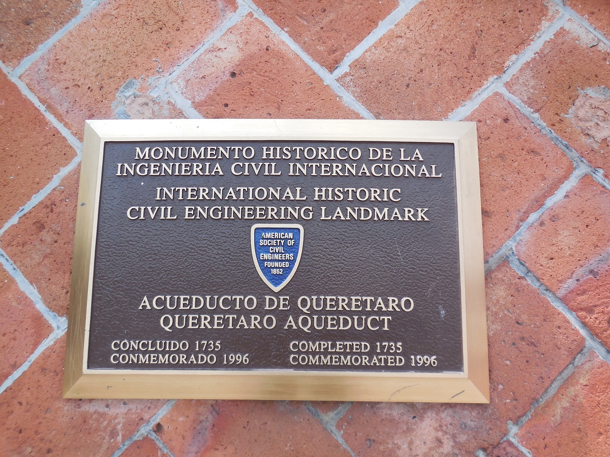
The aqueduct crosses a valley south of Queretaro in order to get the water from the mountain springs to the highest point in the city where it was then distributed in the city fountains. The aqueduct is 1,280 meters long with a maximum height of 23 meters. There are 74 semicircular stone arches on which an open channel conveyed the clean water by gravity to the city.
The civil engineering design, drawing and construction from 1726 to 1738 used elemental tools and techniques such as lead weights and the lever and available surveying equipment. This was a masterful engineering undertaking in the 1700's in Mexico. Although no longer used an aqueduct, the structure remains in place and is well maintained for traffic, pedestrians, and the thousands of tourists that pass by and under the aqueduct's 74 stone arches.
Resources:
1. Septien y Septien, Manuel. Historia de Queretaro. Querétaro: Edicciones [sic] Culturales del Gobierno del Estado, 1966
2. Septien y Septien, Manuel. Acueducto y fuentes de Querétaro. Querétaro, Qro., México : Dirección de Patrimonio Cultural, Secretaría de Cultura y Bienestar 3. Social, Gobierno del Estado de Querétaro, 1988.
Resources
- Septien y Septien, Manuel. Historia de Queretaro. Querétaro: Edicciones [sic] Culturales del Gobierno del Estado, 1966
- Septien y Septien, Manuel. Acueducto y fuentes de Querétaro. Querétaro, Qro., México: Dirección de Patrimonio Cultural, Secretaría de Cultura y Bienestar
- Social, Gobierno del Estado de Querétaro, 1988