Mapping flood risk at scale in a changing climate
Assessing flood risk, especially at scale, is notoriously difficult. For one, flooding is an unpredictable and intensely local hazard and, in many parts of the world, the data can be poor quality, patchy or non-existent.
Added to this is the challenge of measuring the effect of climate change on flood risk. In order to mitigate and adapt to the damaging impacts of climate change, it is crucial to understand how the current risk to communities, assets and infrastructure has evolved – and how it will evolve in the future. However, most models typically rely on historical observations – but these alone are not enough for modeling flood risk in a changing climate.
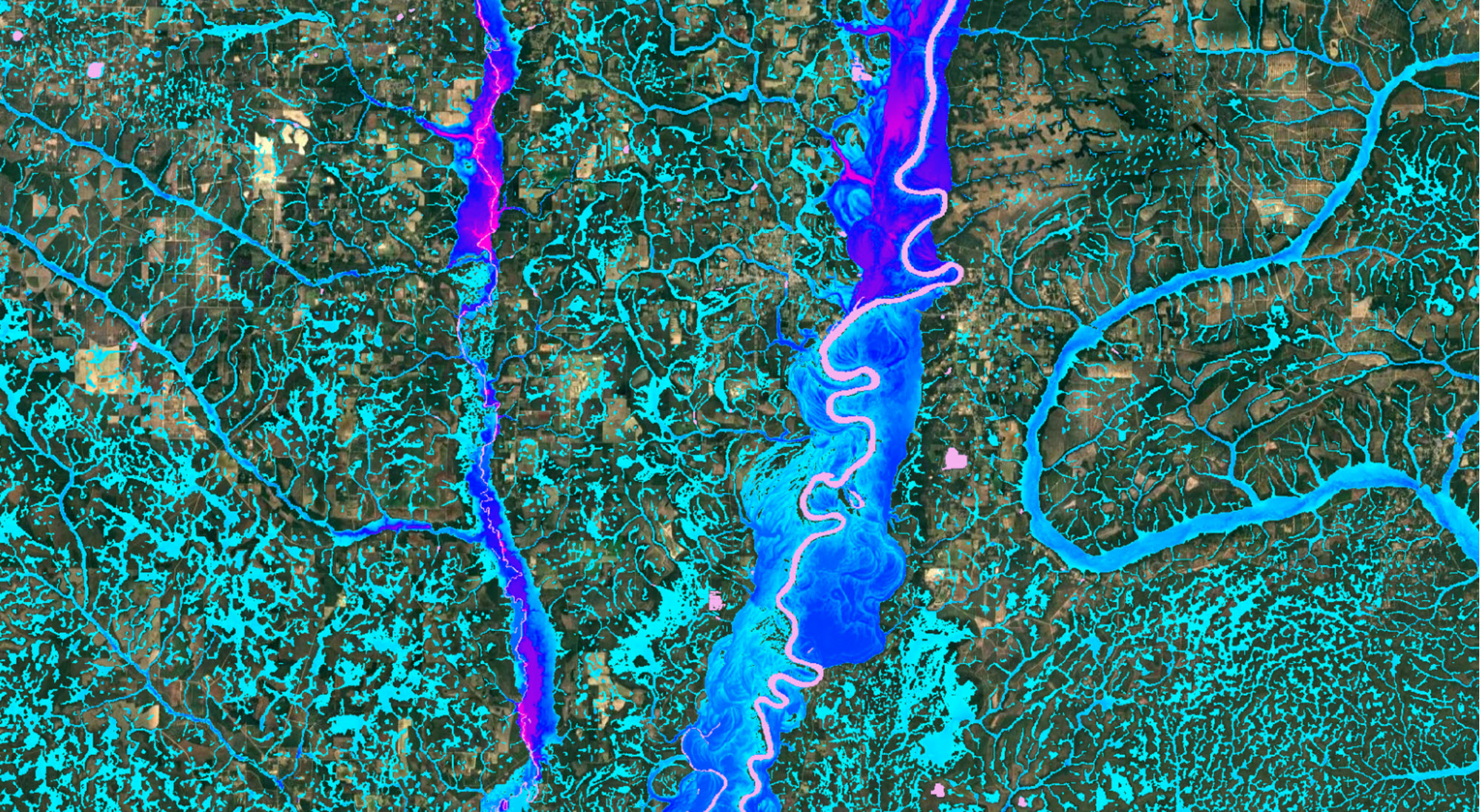
Flood-risk intelligence firm Fathom has developed a flood modeling framework that utilizes the latest observation and state-of-the-art terrain data to fill the data gaps. Alongside terrain data, Fathom’s detailed, comprehensive flood maps of the whole of the US also benefit from climate dynamics, representing both present-day and future climate states.
 Fathom
 Mapping flood vulnerability for Florida
The Resilient Florida Program of the Florida Department of Environmental Protection's Office of Resilience and Coastal Protection asked Fathom for help with a significant challenge: to develop a comprehensive statewide coastal and inland flood vulnerability assessment for critical infrastructure across the State of Florida.
To meet this challenge, Fathom worked with local engineers Taylor Engineering and Jones Edmunds to rapidly develop a consistent statewide flood model from scratch, complete with future climate change scenarios, all within an eight-month timeframe.
Collaboration is key to success
By combining Fathom’s existing flood model framework with the local expertise of Taylor Engineering and Jones Edmunds, the team could deliver a bespoke, fully 2D climate-conditioned model for pluvial, fluvial and coastal flooding across the state of Florida.
Crucial to the success of the project was the close collaboration between federal, state and local governments, working alongside Fathom and local engineers to incorporate ground-breaking modeling technology.
Watch the webinar on-demand to explore statewide flood mapping
To learn more about the project, the challenges of statewide flood mapping and how to overcome them, watch the webinar on-demand today.
Collaborating for success: Mapping Statewide Flood Vulnerability to achieve Florida’s legislative mandate.
Watch the webinar on-demand.


