Aging assets, regulatory pressure, climate risks, population growth, and expectations for sustainability are forcing engineering firms to rethink design, delivery, and project management. At the same time, project owners expect more than drawings and reports. They want data-rich deliverables that support operations, maintenance, and long-term decision-making.
This shift is why geographic information systems (GIS) have become a foundational technology for modern water engineering. No longer limited to mapping, GIS serves as the digital backbone that connects the project phase into a single, location-centric environment. Firms that embrace GIS are creating resilient water systems, improving project delivery, and providing greater value after construction is complete.
One of the biggest challenges facing engineering organizations is managing hydraulic models, CAD drawings, BIM data, field observations, environmental reports, imagery, and sensor data, which often exist in separate applications with limited interoperability.
GIS provides a central hub for project information, bringing together data from multiple systems into a common spatial context. By connecting the wide range of data types to a real-world location, teams gain a comprehensive understanding of project conditions and infrastructure performance. Engineers, planners, contractors, and owners can all access the information they need when they need it, regardless of the software platform they use.
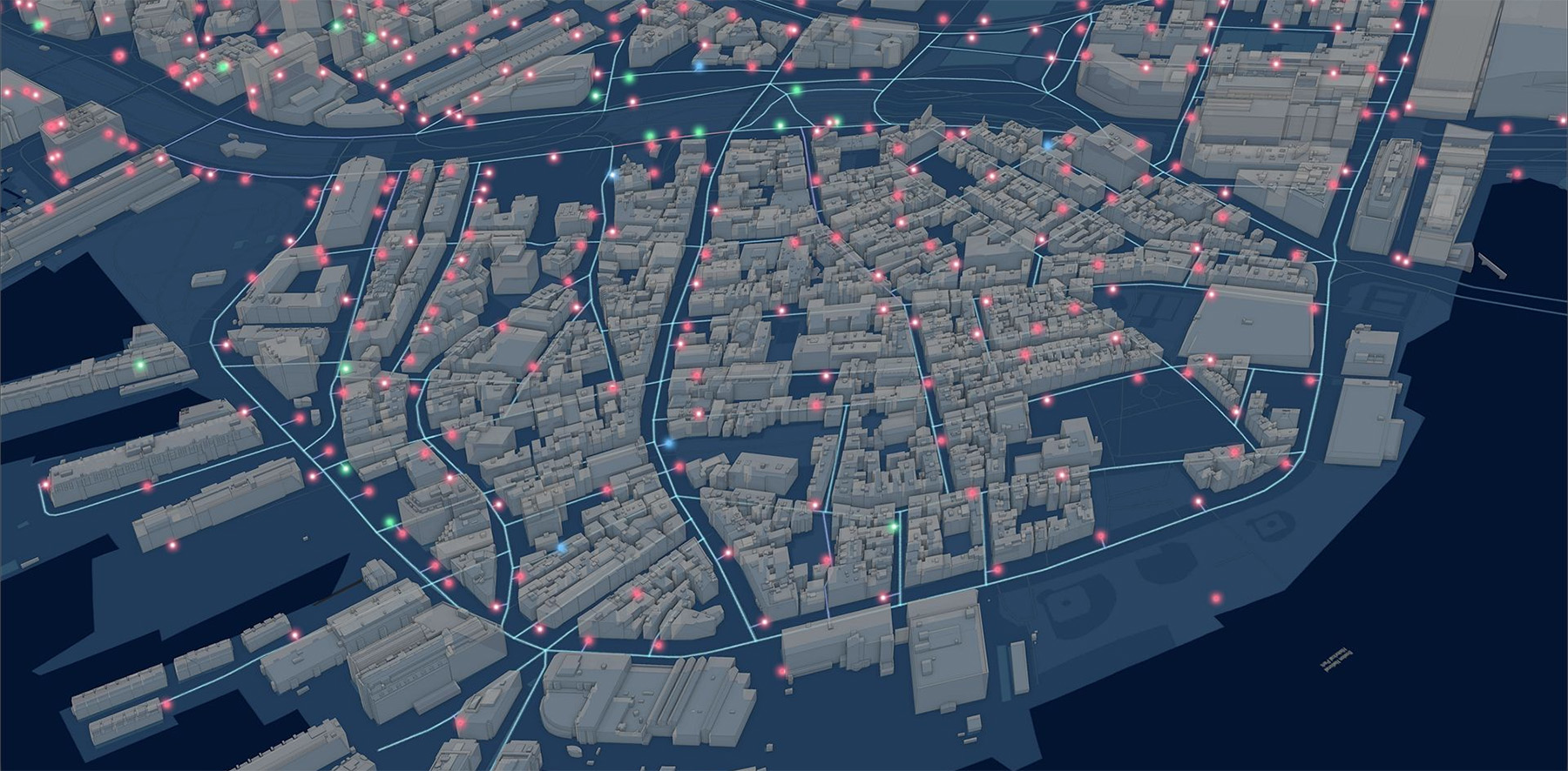
A modern water system digital twin combines models, networks, facilities, pump stations, reality capture, environmental data, and sensor information within a geo-enabled environment. This integrated view supports advanced analytics and predictive modeling. Engineering teams can evaluate flood scenarios, identify vulnerabilities in aging infrastructure, analyze risk, and assess the potential impacts of future development. Rather than reacting to issues after they occur, organizations can proactively plan investments and improve system resilience.
Water projects generate enormous amounts of field information. Inspections, water sampling, environmental monitoring, asset assessments, and construction observations require accurate, timely data collection.
GIS-equipped applications allow crews to capture geolocated information directly from mobile devices. Photos, forms, measurements, and observations are immediately available to project teams and decision-makers without manual data entry or spreadsheet consolidation.
For engineering firms, this capability significantly improves compliance reporting and auditability. Regulatory requirements often demand clear documentation regarding infrastructure conditions, environmental impacts, and operational activities. GIS creates a transparent, documented record of activities while reducing administrative effort.
Using advanced spatial analysis, engineering teams can evaluate watershed conditions, identify potential contamination risks, assess stormwater impacts, and develop source water protection strategies. By integrating environmental, infrastructure, and land-use data, firms gain a deeper understanding of how development decisions affect natural systems.
This broader perspective helps engineers design infrastructure that balances operational performance with environmental responsibility. Whether supporting flood mitigation initiatives, watershed restoration efforts, stormwater management programs, or climate adaptation strategies, GIS enables more informed and sustainable decisions.
Engineering firms are increasingly expected to provide digital deliverables that remain useful long after construction is complete. GIS enables a seamless digital handover, ensuring project information becomes part of an operational system rather than being archived and forgotten.
Owners receive georeferenced asset information that can be used for maintenance planning, operational analytics, capital improvement planning, and future expansion projects. By integrating project delivery data with operational systems, organizations gain a long-term platform for continuous improvement.
For water engineering firms, GIS is no longer simply an enhancement to existing workflows. It is the system that connects design, construction, operations, and environmental stewardship into a unified digital strategy. As infrastructure challenges continue to grow, firms that leverage GIS will be best positioned to deliver resilient water systems, improve sustainability outcomes, and create lasting value for their clients. For more information, visit: https://link.esri.com/CESept